
Kilimanjaro — Tanzania
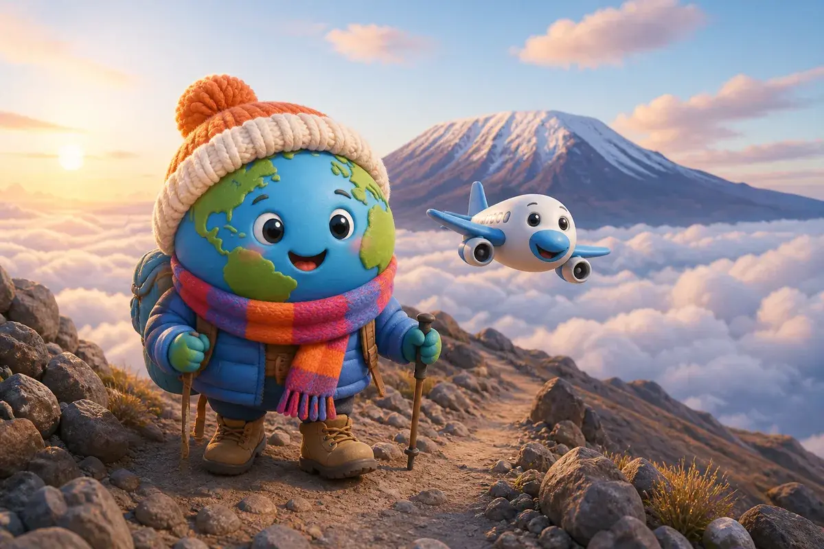
Kilimanjaro rises alone out of northern Tanzania, a snow-capped volcano standing over hot savannah with nothing else near its height for hundreds of kilometres. Trekkers base themselves in the towns on its southern slopes, among banana groves and coffee farms. The main international airport sits 67 km from the mountain.
Free — no account needed. The assistant builds a full proposal: itinerary, honest budget, map and booking links.
Why go
This is the highest point in Africa and the highest freestanding mountain anywhere, and crucially it can be walked. No ropes, no technical sections, no glacier travel on the standard routes — which is exactly why it attracts people with no mountaineering background at all, and why the altitude catches so many of them out. The climb is a long uphill walk that passes through farmland, rainforest, heather and moorland, alpine desert and finally an arctic summit zone, five worlds stacked on one slope in under a week.
There is also a mountain to visit without climbing it. The southern foothills are densely farmed Chagga country, with waterfalls in the forest, coffee smallholdings that welcome visitors, and viewpoints where the summit appears at dawn before the cloud seals it for the day. Come for the ascent if you are fit, patient and willing to walk slowly for days. Come for the foothills if you are not, because the mountain seen from below is a genuine destination and costs a fraction of the climb.
Month-by-month climate
Every figure here describes the plain at the mountain's foot, not the summit, which keeps its own arctic conditions all year. Down low the heat is constant: 32.4 °C in January, 33 °C in February, 32.6 °C in October, with nights that barely move, 19.5 °C, 19.7 °C and 19.3 °C in turn. What changes is water. Two rainy periods dominate the calendar, and the longer one is severe — April alone takes 191.1 mm over 25 days of rain, with March at 145.1 mm, which turns forest paths into mud and hides the mountain behind cloud for weeks. The shorter rains return in November and December, 70.3 mm and 107.2 mm, spread over 12 wet days each. Between them sit the dry windows that trekking is built around: June at 16.6 mm, July at just 6.1 mm across 2 rainy days, August at 11.3 mm, September at 10.7 mm, with cooler daytime figures of 26.1 °C and 26.8 °C. Over a full year, 768.5 mm fall across 106 days, and the mountain spends a good part of that time out of sight.
| Month | Avg. high (°C) | Avg. low (°C) | Rainfall (mm) | Days ≥ 1 mm | Days ≥ 5 mm |
|---|---|---|---|---|---|
| Jan | 32.4 | 19.5 | 85 | 8 | 5 |
| Feb | 33.0 | 19.7 | 47 | 7 | 3 |
| Mar | 32.9 | 20.2 | 145 | 12 | 7 |
| Apr | 28.6 | 19.8 | 191 | 25 | 12 |
| May | 27.0 | 19.1 | 54 | 11 | 3 |
| Jun | 26.1 | 17.6 | 17 | 5 | 1 |
| Jul | 26.8 | 17.2 | 6 | 2 | 0 |
| Aug | 28.6 | 17.4 | 11 | 4 | 0 |
| Sept | 30.9 | 18.4 | 11 | 3 | 1 |
| Oct | 32.6 | 19.3 | 24 | 5 | 1 |
| Nov | 32.2 | 19.7 | 70 | 12 | 5 |
| Dec | 31.4 | 19.5 | 107 | 12 | 6 |
Source: Meteostat — Kilimandjaro (Tanzania) station, 31.6 km away, 5 sample years. Monthly totals rebuilt from daily averages. Data partly modelled (Meteostat, DWD/met.no).
When to go
The main season runs from late June to early October, when the low country dries out, paths are firm and the summit is visible most mornings. A second, warmer window opens in January and February, between the rains, with 46.6 mm in February and clearer skies at altitude. Avoid the long rains of March and April entirely, and treat November and December as a gamble.
The most favourable months, on these records
- June
- July
- August
What to see in 2, 4 and 7 days
In 2 days
- Drive up through the coffee villages of the southern slope to a forest waterfall, walking the last section on foot.
- Spend the afternoon on a smallholding learning how the coffee is grown, dried and roasted on the spot.
- Second morning at one of the park gates for a short forest walk among colobus monkeys, without entering the trekking zone.
- End at a viewpoint east of the massif at first light, the one hour of the day when the summit is reliably clear.
In 4 days
- One day acclimatising on foot in the foothills, climbing through the farmland to the forest edge and back.
- One day walking to the first hut of an eastern route and returning the same evening, a legitimate way to enter the park briefly.
- One day at the crater lake on the border, where the water sits far below rim cliffs and swimming is possible.
- One day in the national park to the west, on the flanks of the second volcano, which has giraffe, buffalo and a walking safari.
- Reserve an evening in town for the market and the trekking shops, which is where returning groups tell you what the route was actually like.
In 7 days
- Choose a route of six or seven days rather than the shortest option; the extra nights are what get you to the top.
- Spend the first two days crossing rainforest, walking deliberately slowly as the guides insist.
- Use the third and fourth days on the heath and moorland, with an afternoon climbing high and sleeping low.
- Cross the alpine desert on day five, a long dry stage where the summit finally looks close.
- Start the summit push around midnight from high camp, reaching the crater rim at sunrise and the true top after that.
- Descend fast the same day, losing height quickly, which is the treatment altitude sickness responds to.
- Save the last day for the foothills: a hot shower first, then the coffee farms, before flying out the following morning.
Getting there and around
Kilimanjaro International (JRO) is the natural entry point, 67 km from the mountain and served by long-haul and regional flights, with transfers arranged by every operator. Arusha (ARK), 99 km west, handles light aircraft and safari connections rather than arrivals from abroad. Amboseli (ASV) shows as the closest at 49 km, but it lies over the border in Kenya and serves the reserve on that side, so it is useful only when combining both countries with a land crossing. On the ground you will not need a car: operators move you between town, gate and mountain, and shared minibuses link the towns of the slope.
Nearest airports
- ASVAmboseli49 km from the centre
- JROKilimanjaro International Airport67 km from the centre
- ARKArusha Airport99 km from the centre
Budget
Country price level compared with France : −79 %
Price index for restaurants and hotels, France = 1000, from European purchasing power parities. It is a country average: it says nothing about one hotel in particular.
Two different economies sit side by side here. Ordinary days are inexpensive, at roughly a fifth of French prices: 20 to 70 € for a comfortable double in town, 4 to 12 € a head for a good meal, small sums for transport and guided foothill walks. The ascent belongs to another category, because park fees, mandatory guides, porters, cooks and equipment are all counted per day: budget somewhere between 1 500 and 2 500 € for a well-run climb of six to eight days, plus tips, which are substantial and expected. Suspiciously cheap offers are cheap because someone on the team is being paid badly.
Common mistakes
- Booking the shortest itinerary to save money. Success rates fall sharply on fast routes because the body is given no time to adapt.
- Choosing an operator on price alone. Porter loads, wages, food and tents are exactly where a low quote is made up.
- Underestimating the cold. The foot of the mountain reaches 32.4 °C while the summit night stays well below freezing, with wind.
- Hiding symptoms from the guide. Headache, nausea and breathlessness are information, and concealing them is how a descent becomes an evacuation.
- Planning the climb during the long rains. April records 191.1 mm over 25 rainy days and the upper routes become miserable.
Frequently asked questions
Do you need mountaineering experience?
Not on the standard routes, which are walking trails with no rope work and no glacier crossing. What they demand is endurance and patience: long days on foot, thin air and a summit night that starts around midnight. General fitness and a few months of hill walking beforehand matter far more than technique. The single biggest factor in reaching the top is the number of days you take, not how strong you are.
How can the foot of the mountain be hot and the top frozen?
Because you gain a vertical kilometre repeatedly. Air cools steadily with height, so a plain at 32.4 °C in January sits below forest, then heath, then alpine desert, then permanent ice, all on the same slope. That is why a packing list must cover a sweaty first afternoon and a summit night below freezing, and why a well-run climb rents you down clothing you would never buy for home.
Is the mountain worth visiting without climbing it?
Yes, and it is badly underrated. The southern slopes are farmed all the way to the forest boundary, with waterfalls, coffee villages and easy walks at a comfortable altitude. Dawn is the moment to plan around: the summit stands clear in the first light and disappears into cloud within a couple of hours. A few days in the foothills cost almost nothing next to a trek.
Updated on 21 September 2026